Information about the excursions
Pre-conference excursion: Tuesday, 15.9.2015
Optional. If interested in, please contact the organizers.
Friday, 18.9.2015
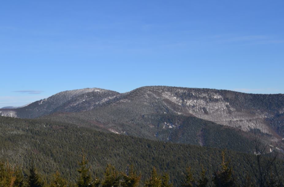
The Radhošť Ridge
The Radhošť Ridge is the significant portion of the Moravskoslezské Beskydy Mts. (part of Outer Western Carpathians). It has an overall area 223 square kilometers. The Ridge forms some of the highest mountains in the Moravian-Silesian Region: Smrk (1276 m a.s.l.), Kněhyně (1257 m a.s.l.) and Radhošť (1129 m a.s.l.).
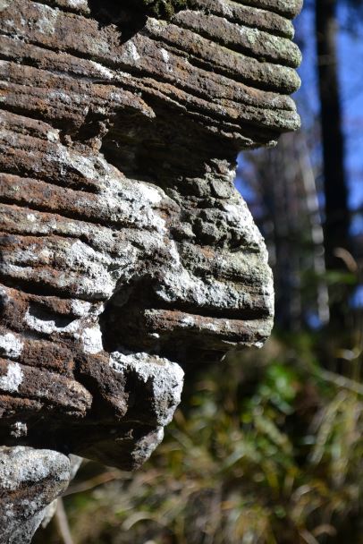
The Ridge is formed by sedimentary flysch rocks (sandstones or conglomerates altered with claystones or siltstones). Thickness of the sedimentary beds is variable (from several cm to several m). The layers are inclined slightly to the SE. Moreover, the whole massif is fissured and tectonically disrupted by faults. Together with the strong incision of the valleys, these are the conditions, which caused the development of deep-seated landslides. Just with this phenomenon is connected the formation of crevice-type caves within that area.
Many of these caves were discovered between years 1975 and 2001, but some of them are known for ages.
Underground excursion A: The Devils Mill Mt. (1206 m a.s.l.) and The Kněhyňská cave:
- The Devils Mill Mt. (1206 m a.s.l) - deep-seated landslides, entrances into the crevice-type caves, gravitational disintegration of mountain ridges, The Devils table rock formation.
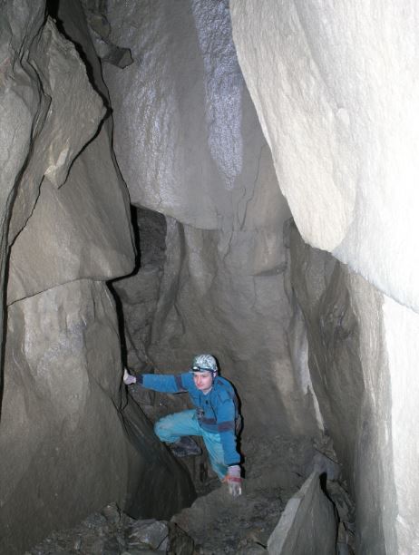
- The Kněhyňská cave - The entrance into the cave is situated on the SE slopes of the Kněhyně Mt. Firstly, we will overcome 6m abyss (fixed ladder). The cave is divided into two different parts: Eastern branch consists of several steps with large chamber. The last step leads to the entrance of Great Abyss (-12 m). Western branch leads to the several chambers connected together by the narrow passages. The last chamber in the depth of 40 m is the large one (10 x 15 x 12 m). You will see there the headscarp rock wall of the landslide. The overall depth of the cave reaches 57,5 m and it is the second deepest crevice-type cave in the flysch Carpathians.
Instructions for the excursion:
- mandatory personal equipment: helmet, headlamp (2 x), overall, strong shoes, gloves (there is no need to use SRT equipment)
- mean temperature: +5°C, relative humidity: up to 100 %
- the terrain is very variable, larger chambers are changing with narrow passages (crawling)
- dropping water, lot of mud
- access to the locality: 4,5 km on foot (mountain tourist route - mountain terrain) + 4,5 km back = 9 km
- supposed time of underground part: 2-3 hours
Superficial excursion B: The Pustevny Settlement and The Radhošť Mt. (1129 m a.s.l.):
- The Pustevny Settlement with original wooden buildings - the historical center of the Moravskoslezské Beskydy Mts.
- Deep-seated landslide with the entrance of the Cyrilka cave (longest crevice-type cave in Czech Republic).
- The view from the Cyrilka viewpoint.
- The sculpture of the pagan god Radegast.
- The Záryje landlide area with rocky trenches and crevice-type caves. Typical landslides-induced landscape.
- The Chapel of St. Cyril and St. Metoděj on the top of the Radhošť Mt. (1129 m a.s.l.) with the view on the Beskydy Mts., possibility of meals in mountain hut.
- Return to the Pustevny Settlement.
The whole trail is 8 km long and the tourist path is easy, with several excursion stops in terrain.
Saturday, 19.9.2015
The caves of the Lysá hora Mt. (1323 m a.s.l.)
The Lysá hora Mt. is the highest point of the Moravskoslezské Beskydy Mts. (part of Outer Western Carpathians). The mountains are formed by sedimentary flysch rocks (sandstones or conglomerates altered with claystones or siltstones). Thickness of the sedimentary beds is variable (from several cm to several m). The layers are inclined slightly to the SE. Moreover, the whole massif is fissured and tectonically disrupted by faults. Together with the strong incision of valleys, these are the conditions, which caused the development of deep-seated landslides. Just with this phenomenon is connected the formation of crevice-type caves within that area.
Underground excursion C: The Great Andrews Cave
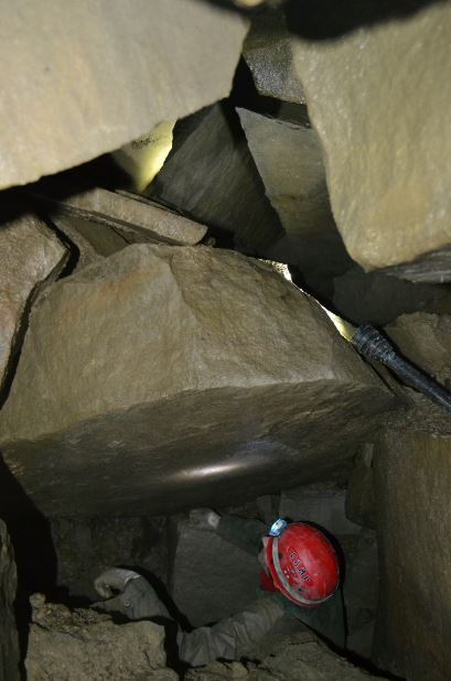
The entrance into the cave is situated in the southern ending of the 200 m long rocky trench, developed as a result of the gravitational disintegration of mountain ridge. The entrance part is formed by the wedged boulders. Then, the cave is divided into two parts, both are formed by narrow stepped abysses. The overall depth of the cave is 34 m.
Instructions for the excursion:
- mandatory personal equipment: helmet, headlamp (2 x), overall, strong shoes, gloves (there is no need to use SRT equipment)
- mean temperature: +5°C, relative humidity: up to 100 %
- the terrain is very variable, larger chambers are changing with narrow passages (crawling)
- dropping water, lot of mud
- access to the locality: 2 km on foot (mountain tourist route - mountain terrain) + 2 km back = 4 km
- supposed time of underground part: 2-3 hours
Superficial excursion D: The Lukšinec Ridge
- Steep slopes of the Lysá hora Mt.
- The Mazák rock formation - view on the Smrk Mt. and deep Mazák valley.
- The Lukšinec Ridge - results of gravitational disintegration of rocks: rocky trenches, crevice-type caves, pseudokarst sinkholes.
The tourist path is moderately difficult. You should use suitable shoes.
Post-conference excursion: Sunday, 20.9.2015
Optional. If interested in, please contact the organizers.
© Ostravská univerzita 2008 - 2024
Ostravská univerzita, Dvořákova 7, 701 03 Ostrava